- Home
- Quintessential Queensland
- Distinctiveness
- Perceptions
- Perceptions: how people understand the landscape
- From runs to closer settlement
- Geological survey of Queensland
- Mapping a new colony, 1860-80
- Mapping the Torres Strait: from TI to Magani Malu and Zenadh Kes
- Order in Paradise: a colonial gold field
- Queensland atlas, 1865
- Queensland mapping since 1900
- Queensland: the slogan state
- Rainforests of North Queensland
- Walkabout
- Queenslanders
- Queenslanders: people in the landscape
- Aboriginal heroes: episodes in the colonial landscape
- Australian South Sea Islanders
- Cane fields and solidarity in the multiethnic north
- Chinatowns
- Colonial immigration to Queensland
- Greek Cafés in the landscape of Queensland
- Hispanics and human rights in Queensland’s public spaces
- Italians in north Queensland
- Lebanese in rural Queensland
- Queensland clothing
- Queensland for ‘the best kind of population, primary producers’
- Too remote, too primitive and too expensive: Scandinavian settlers in colonial Queensland
- Distance
- Movement
- Movement: how people move through the landscape
- Air travel in Queensland
- Bicycling through Brisbane, 1896
- Cobb & Co
- Journey to Hayman Island, 1938
- Law and story-strings
- Mobile kids: children’s explorations of Cherbourg
- Movable heritage of North Queensland
- Passages to India: military linkages with Queensland
- The Queen in Queensland, 1954
- Transient Chinese in colonial Queensland
- Travelling times by rail
- Pathways
- Pathways: how things move through the landscape and where they are made
- Aboriginal dreaming paths and trading ways
- Chinese traders in the nineteenth century
- Introducing the cane toad
- Pituri bag
- Press and the media
- Radio in Queensland
- Red Cross Society and World War I in Queensland
- The telephone in Queensland
- Where did the trams go?
- ‘A little bit of love for me and a murder for my old man’: the Queensland Bush Book Club
- Movement
- Division
- Separation
- Separation: divisions in the landscape
- Asylums in the landscape
- Brisbane River
- Changing landscape of radicalism
- Civil government boundaries
- Convict Brisbane
- Dividing Queensland - Pauline Hanson’s One Nation Party
- High water mark: the shifting electoral landscape 2001-12
- Hospitals in the landscape
- Indigenous health
- Palm Island
- Secession movements
- Separate spheres: gender and dress codes
- Separating land, separating culture
- Stone walls do a prison make: law on the landscape
- The 1967 Referendum – the State comes together?
- Utopian communities
- Whiteness in the tropics
- Conflict
- Conflict: how people contest the landscape
- A tale of two elections – One Nation and political protest
- Battle of Brisbane – Australian masculinity under threat
- Dangerous spaces - youth politics in Brisbane, 1960s-70s
- Fortress Queensland 1942-45
- Grassy hills: colonial defence and coastal forts
- Great Shearers’ Strike of 1891
- Iwasaki project
- Johannes Bjelke-Petersen: straddling a barbed wire fence
- Mount Etna: Queensland's longest environmental conflict
- Native Police
- Skyrail Cairns (Research notes)
- Staunch but conservative – the trade union movement in Rockhampton
- The Chinese question
- Thomas Wentworth Wills and Cullin-la-ringo Station
- Separation
- Dreaming
- Imagination
- Imagination: how people have imagined Queensland
- Brisbane River and Moreton Bay: Thomas Welsby
- Changing views of the Glasshouse Mountains
- Imagining Queensland in film and television production
- Jacaranda
- Literary mapping of Brisbane in the 1990s
- Looking at Mount Coot-tha
- Mapping the Macqueen farm
- Mapping the mythic: Hugh Sawrey's ‘outback’
- People’s Republic of Woodford
- Poinsettia city: Brisbane’s flower
- The Pineapple Girl
- The writers of Tamborine Mountain
- Vance and Nettie Palmer
- Memory
- Memory: how people remember the landscape
- Anna Wickham: the memory of a moment
- Berajondo and Mill Point: remembering place and landscape
- Cemeteries in the landscape
- Landscapes of memory: Tjapukai Dance Theatre and Laura Festival
- Monuments and memory: T.J. Byrnes and T.J. Ryan
- Out where the dead towns lie
- Queensland in miniature: the Brisbane Exhibition
- Roadside ++++ memorials
- Shipwrecks as graves
- The Dame in the tropics: Nellie Melba
- Tinnenburra
- Vanished heritage
- War memorials
- Curiosity
- Curiosity: knowledge through the landscape
- A playground for science: Great Barrier Reef
- Duboisia hopwoodii: a colonial curiosity
- Great Artesian Basin: water from deeper down
- In search of Landsborough
- James Cook’s hundred days in Queensland
- Mutual curiosity – Aboriginal people and explorers
- Queensland Acclimatisation Society
- Queensland’s own sea monster: a curious tale of loss and regret
- St Lucia: degrees of landscape
- Townsville’s Mount St John Zoo
- Imagination
- Development
- Exploitation
- Transformation
- Transformation: how the landscape has changed and been modified
- Cultivation
- Empire and agribusiness: the Australian Mercantile Land and Finance Company
- Gold
- Kill, cure, or strangle: Atherton Tablelands
- National parks in Queensland
- Pastoralism 1860s–1915
- Prickly pear
- Repurchasing estates: the transformation of Durundur
- Soil
- Sugar
- Sunshine Coast
- The Brigalow
- Walter Reid Cultural Centre, Rockhampton: back again
- Survival
- Survival: how the landscape impacts on people
- Brisbane floods: 1893 to the summer of sorrow
- City of the Damned: how the media embraced the Brisbane floods
- Depression era
- Did Clem Jones save Brisbane from flood?
- Droughts and floods and rail
- Missions and reserves
- Queensland British Food Corporation
- Rockhampton’s great flood of 1918
- Station homesteads
- Tropical cyclones
- Wreck of the Quetta
- Pleasure
- Pleasure: how people enjoy the landscape
- Bushwalking in Queensland
- Cherbourg that’s my home: celebrating landscape through song
- Creating rural attractions
- Festivals
- Queer pleasure: masculinity, male homosexuality and public space
- Railway refreshment rooms
- Regional cinema
- Schoolies week: a festival of misrule
- The sporting landscape
- Visiting the Great Barrier Reef
By:
Owen Powell ‘Maps break down our inhibitions, stimulate our glands, stir our imagination, loosen our tongues’ thus spoke Carl Sauer in an essay entitled Education of a Geographer in 1956. Sauer goes on to say that maps are the ‘language of geography’ which cut across language barriers.
Most of us would agree that there is something evocative about maps. Great journeys begin with maps. By tracing the roads, rivers and mountains with our fingers, the entire landscape is accessible to our imagination, fuelling the anticipation for adventure and the possibility of discovery.
However, maps also present us with a view of the world that is limited. Compressed into a two dimensional format or confined to within the borders on an aerial photograph or satellite image the language is objective, scientific and domineering over the landscape, juxtaposed to a ‘horizontal’ view of ‘being’ in and experiencing the landscape itself.
In this sense maps are compressed representations of reality. Some would even go further to say that our reality is constructed. Our sense perceptions are like light entering through a stained glass window, where the mind acts as organiser and filter.
How we construct the world around us and place ourselves in it is by no means the same for all people and cultures, thereby placing a formidable task for anyone attempting to comprehend how the landscape is perceived and understood.
Ask a farmer, an accountant or an environmentalist to describe the same landscape and their responses would probably differ and be determined by how they related to the landscape itself, not just in terms of economic activity but something more quintessential.
Marcel Proust in Remembrance of Things Past referred to our most intimate memories being bound within the physical world around us like the souls of Celtic mythology; the right incantation would release them from their imprisonment whether it be a rock, tree or river. Encounters with the landscape are likely to do the same, evoking some form of memory or aesthetic experience.
As a native Tasmanian writing about Queensland and who sometimes suffers nostalgia, my thoughts turn to home when I see a chain of hills or forest, perhaps even one that’s clear felled. I love winters here precisely because they are like the Tasmanian summers and autumn. But I also appreciate Queensland’s unique landscapes and where I go after Queensland thoughts will bring me back here to this place or other places I have been.
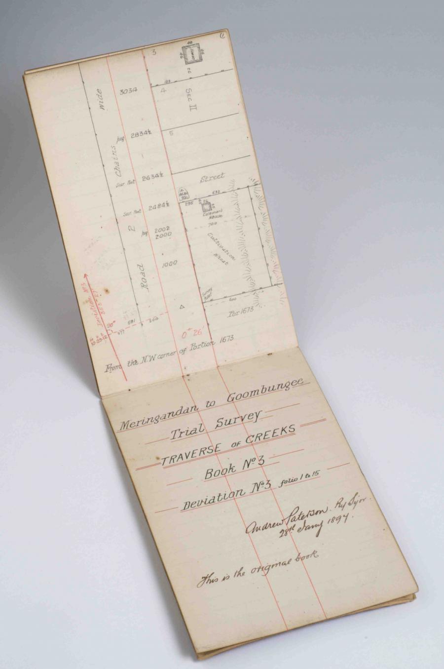
Throughout this atlas there are numerous maps of Queensland representing its landscapes in different ways. In the theme ‘Perceptions’, there are maps that indicate how the landscape is perceived and understood in its own right, and while maps remain silent to our subjective experiences, the process of mapping itself is a useful place to begin to understand the cultural interface between people and landscapes and the way people relate to their landscapes and place themselves in it.
Exciting sheets of white paper
As a boy, Joseph Conrad the Polish–born English novelist held a great passion for geography which developed into a penchant for pouring over the great empty map spaces that dominated the world at the time. Europe had been expanding its Empire since the renaissance. Geographical knowledge closely coincided with this yet by the 1860s when Conrad was just ten years old much remained unknown about the world.
One such place that caught Conrad’s eye was the African continent. The outline had been known for centuries but the interior remained as ‘exciting white sheets of paper regions unknown’. There young Conrad envisaged the work of great explorers nibbling and attacking the edges of the cartographic emptiness ‘conquering a bit of truth here and a bit of truth there, and sometimes swallowed up by the mystery their hearts were so persistently set on unveiling’.
Such a statement might have applied to a number of explorers who passed through what would later be Queensland, though Leichhardt seems to reflect this the most when during an expedition in 1848 he vanished without a trace.
In light of such intrepid explorers it suffices to say that in 1846 when Major Thomas Mitchell set out on an expedition to explore central Queensland, he was moving into unknown territory and a blank space on the map he was hoping to fill. The places he was entering were considered ‘dark’ and dangerous, full of uncertainty and savagery and it was the role of geography and exploration to draw these places into the ‘light’ of European rationality; in other words to map them.
Exploration in the nineteenth century concerned the systematic gathering of geographic ‘facts’. Plants and animals were collected while journals recorded explorers’ descriptions of the landscape and encounters with Indigenous people. Importantly attempts were made to accurately position themselves on the map according to lines of latitude and longitude of which explorers had various proficiencies.
Joseph Conrad described this rational and scientific approach to exploration as a kind of ‘militant geography’ of which a military style conquest over the landscape wasn’t far off in the minds of explorers. Thomas Mitchell who had experienced pitched battles against the French during the Peninsular wars remarked in 1839 that victory on the battlefield did not surpass the glory of exploration ‘the purposes of which was to shed the light of civilisation’ on regions formerly unknown.
‘Militant geography’ was closely aligned with the conceptualisation of empty cartographic space which shaped impressions of Queensland as it did in the other colonies highlighting a distinct dichotomous perception of the landscape, as rational or irrational, savage or civilised.
While cartographic representations were nominally ‘objective’, the conceptualisation of landscape was firmly from a European cultural perspective. ‘Exciting sheets of white paper’ were a cultural construct, which placed colonies geographically peripheral to Europe and presented them as mysterious and open to exploration and invasion. Landscapes became conceptually ‘available’ and the fact that this coincided with Imperial interests was no coincidence.
Encountering Indigenous people and their landscape
In 1847 while exploring the upper reaches of the Barcoo River, central west Queensland, a curious incident happened to Edmund Kennedy not unlike other kinds of early Indigenous-European contact. Having observed Kennedy’s party and their strange animals from a distance, a group of Aboriginal people made gestures beckoning them to stay. However, on approaching them, this was followed by a stern indication that they were to ‘move along’.
The message was blunt and clear, they were trespassing. However, this move struck members of the expedition as both insulting and absurd. They were familiar with Indigenous hostility. But why act in such a contrary manner?
To understand the context of this encounter it is worthwhile mentioning Kennedy had crossed this country before and was returning along the same route. He noted that previously most Aboriginal people had been wary of him, however, on his return many would come up to them without fear, and in many cases, tell them to leave.
While such encounters are fraught with difficulties in interpretation, I believe the incident in question was an example of Indigenous confidence, dare I say arrogance that the landscape around them was their own. They were not inviting Kennedy to stay and changing their minds, they were trying to get Kennedy’s party to stop, to tell them in person to leave and express their displeasure that he had trespassed, twice no less.
This interpretation appears vindicated by the next day’s events where they came across two elderly Aboriginal women. They had evidently been collecting yams as they carried with them digging sticks, yet they also took the opportunity to approach the men and were ‘abusive’ and ‘bullied’ them as they left. However, these assertions of territoriality and self-assured behaviour in confronting Europeans would diminish with the advance of Squatters and violent repression of Indigenous people.
The way the landscape has been mapped by explorers excluded alternative conceptualisations of the land; particularly those of Indigenous people which is an irony as many explorers relied on their direction and assistance. Their voices remain silent in the colonial literature which often necessitates a re-reading of the historical text in light of more recent scholarly research into Indigenous culture and race relations.
Though occupying the same space it is clear that Indigenous people and explorers mapped the landscape differently. Europeans found themselves in an unfamiliar landscape though one that they were closely observing for its productive purposes. Science allowed it to be navigated and conceptualised in a rational manner. Landscapes were imagined and fixed into a wider geographical matrix of relative distances, heights above sea level and location of the earth’s surface according to latitude and longitude.
For the Indigenous viewer the landscape was deeply contextualised wherein ancestral beings lay quiescent in mountains, rivers, caves and other features of the landscape. This was a very different conceptualisation of landscape which formed a topographical and spiritual narrative that was both map and story. Knowledge of the ancestral Dreaming provided rights and access to Country, a geographical, spatial and spiritual knowledge that the white man was ignorant of which emphasised his trespass and intrusion.
This way of knowing the world formed an integral part of Indigenous culture and interaction with the landscape, yet this was a cultural invention and projection of human values onto the landscape as much as European ‘scientific’ methods were.
Queensland on the map
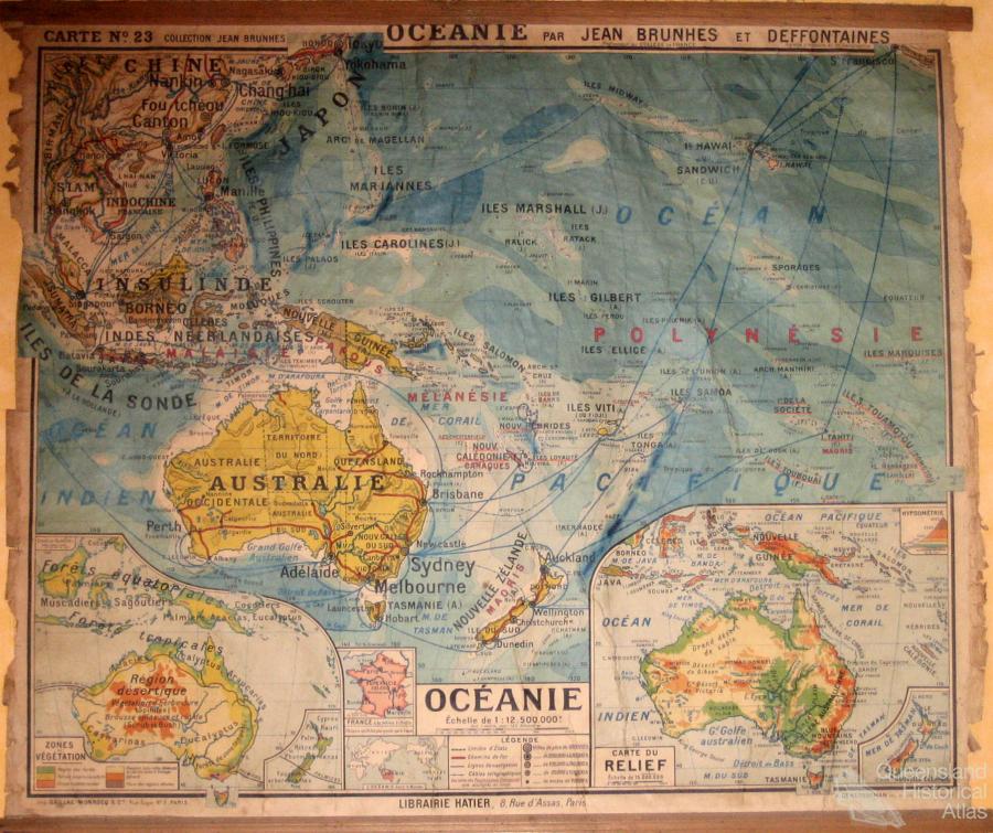
Since early ocean explorers gazed upon Queensland’s coast and speculated what lay beyond the fringe of beaches, forests and mountains they saw, geography, exploration and the maps that have been produced have defined and constructed Queensland’s landscapes, albeit from a Western perspective.
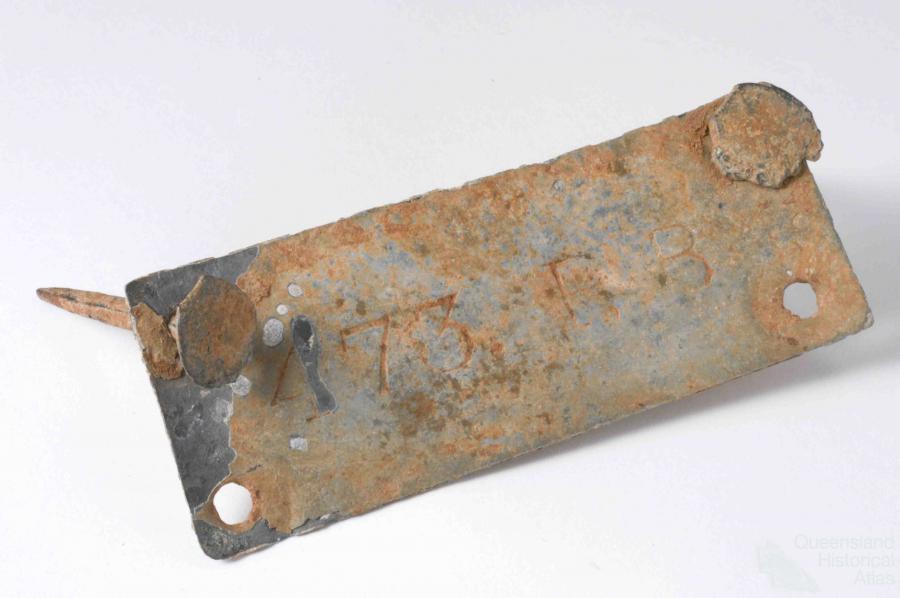
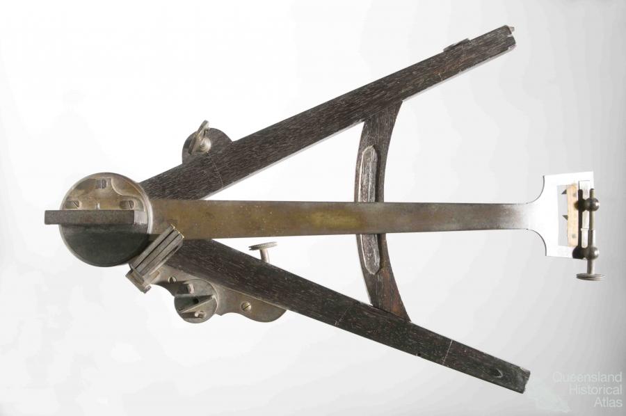
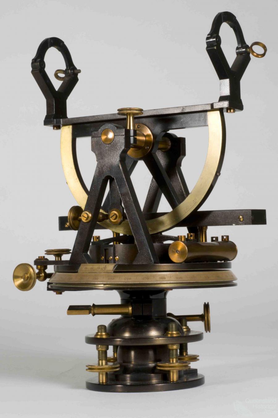
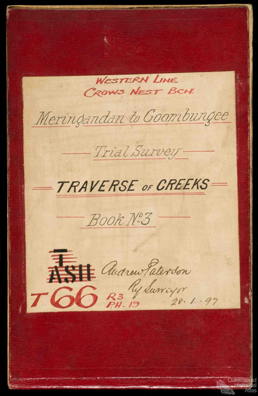
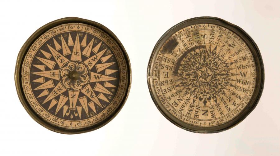
Cook, Flinders and King were among the first navigators who gave a detailed outline of Queensland’s coast. They were in turn followed by hydrographers who provided detail of its reefs, shoals and harbours. The process of mapping and inscription was complimented by inland explorers who were in turn followed by land surveyors who delineated Queensland’s boundaries, subdivided the land and planned the cities.
Aerial photography and the outbreak of war in the Pacific created new imputes for mapping leading to some of Queensland’s first detailed topographic maps while the development of remote sensing GIS technologies have taken precision mapping to an even higher level and opened up new areas of geographical research.
The establishment of the SLATS (Statewide Land Cover and Trees Survey) programme by the Queensland government in the 1990s was a significant landmark, processing satellite images that enabled land cover to be monitored state-wide. Concurrently the development of GIS technology has enabled this extensive matrix of data to be analysed and understood in greater complexity.
However, are we any closer to understanding our landscapes? Or have these mapping traditions for all their benefits, inadvertently disassociated us by accentuating a narrow positivist perception of landscape that emphasises material process over cultural understanding?
Without a contextualised understanding of our landscapes, the avenues for connection with the world around us are limited. This atlas critically examines people’s place in the landscape. The landscape is a library and it is only by broadening our understanding beyond narrow spatial definitions, that we may truly encounter the landscape in its deeper sense.
Maps are a wonderful place to start forging these connections yet we will remain alienated without actually placing ourselves in the landscape. In other words go where your curiosity draws you! By doing this you are taking and experiencing something of the landscape that is both unique and your own as well revealing to the intimate possibilities of experience. These are the truly evocative features of landscape which maps conceal from us as much as they show.
References and Further reading (Note):
John Leighly (ed) Land and life: a selection from the writings of Carl Ortwin Sauer, Berkeley, University of California Press, 1963
References and Further reading (Note):
Joseph Conrad, Tales of hearsay and last essays, London, Dent and Sons, 1926
References and Further reading (Note):
Thomas Mitchell, Journal of a journey into the interior of Tropical Australia in search of a route from Sydney to the Gulf of Carpentaria, London, Longman, Brown and Longmans, 1848
References and Further reading (Note):
Thomas Mitchell, Three expeditions into the interior of Eastern Australia: with descriptions of the recently explored regions of Australia Felix, and of the present colony of New South Wales, London, T. & W. Boone, 1839
References and Further reading (Note):
Edgar Beale, Kennedy, the Barcoo and beyond, 1847: the journals of Edmund Besley Court Kennedy and Alfred Allatson Turner with new information on Kennedy’s life, Hobart, Blubber Head Press, 1983